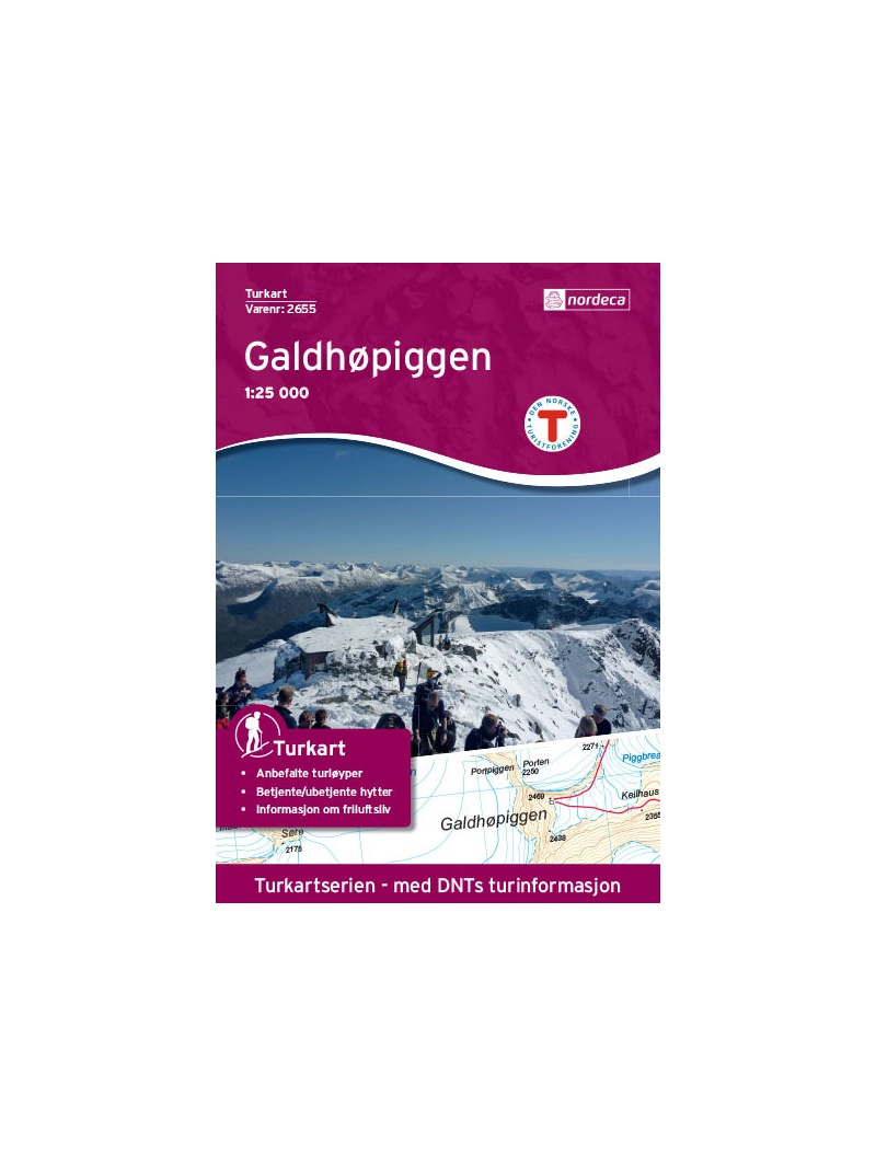
Galdhopiggen 1:25.000, hiking map
Detailed tourist map of the highest mountain Scandinavia Galdhopiggen in Jotunheimen Park. Drawn access roads from the catchment of Juvasshytta and the village of Spiterstulen. A detailed map in the 1:25 000 scale. Winter skiing routes are also marked. Suitable for navigation on and off marked roads. Released in Norway.

 Reliable store
verified by customers
Detailed tourist map of the highest mountain Scandinavia Galdhopiggen in Jotunheimen Park. A detailed map in the 1:25 000 scale. Winter skiing routes are also marked. Suitable for navigation on and off marked roads. Released in Norway. Made of waterproof paper. Packaged in paper wrap with magnetic flap. Explanations in Norwegian and English. Summary information about the map in English. Norwegian texts to the nature and the surroundings of the park. Scale 1:25,000.
You might also like
error Your review appreciation cannot be sent
feedback Report comment
check_circle Report sent
error Your report cannot be sent
Write your review
check_circle Review sent
error Your review cannot be sent

Detailed tourist map of the highest mountain Scandinavia Galdhopiggen in Jotunheimen Park. Drawn access roads from the catchment of Juvasshytta and the village of Spiterstulen. A detailed map in the 1:25 000 scale. Winter skiing routes are also marked. Suitable for navigation on and off marked roads. Released in Norway.


