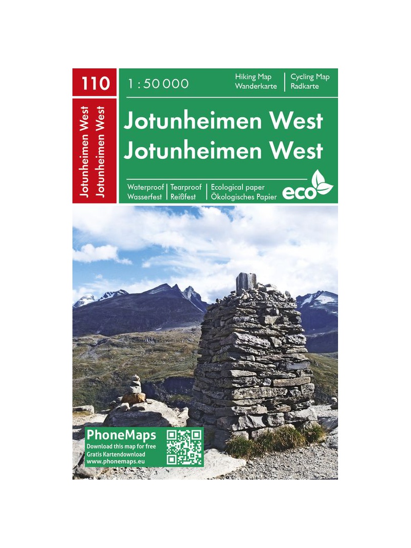
Jotunheimen West - tourist map 1:50 000 Phone Maps
Detailed tourist map of the western part of the Norwegian Jotunheimen National Park and the southern and central part of the Breiheimen National Park. Made of weather-resistant paper. Scale 1:50 000. You can upload the map for free to your mobile phone using PhoneMaps!

 Reliable store
verified by customers
PhoneMaps Jotunheimen West is a 1:50,000 tourist map showing the western part of the Jotunheimen National Park and the southern and central part of the Breiheimen National Park.
It includes marked hiking and biking trails and other tourist and cycling content.
Built on innovative eco-friendly paper that is environmentally friendly, recyclable, waterproof and tear-free, it is ideal for your outdoor activities.
The map is linked to the mobile phone application PhoneMaps , where the user can find detailed tourist maps of Europe and which is free to download.
Folded map size 107 × 165 mm
You might also like
Breheimen nasjonalpark map 1:50 000 TOPO 3000
error Your review appreciation cannot be sent
feedback Report comment
check_circle Report sent
error Your report cannot be sent
Write your review
check_circle Review sent
error Your review cannot be sent

Detailed tourist map of the western part of the Norwegian Jotunheimen National Park and the southern and central part of the Breiheimen National Park. Made of weather-resistant paper. Scale 1:50 000. You can upload the map for free to your mobile phone using PhoneMaps!


