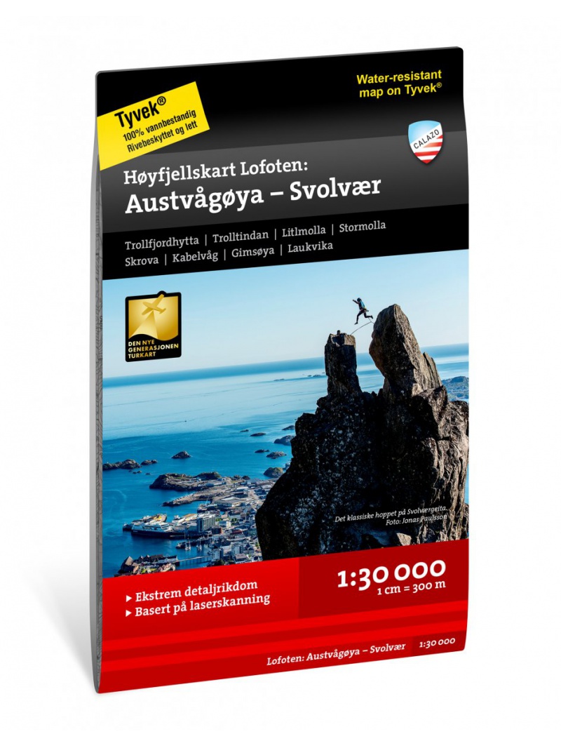
Hoyfjellskart Lofoten: Austvagoya - Svolvar - tourist map Lofoten 1:30 000
One of three unique maps with lots of details that have never been shown on a Lofoten map. The terrain information on the map is based on a laser scan from an airplane. For the first time, mountain slopes, larger rocks, streams and glaciers appear with an accuracy that corresponds to reality. The 1:30,000 scale map provides good support for those who go on top hikes, take glacier tours or otherwise leave marked trails in the valley and find their own paths in the high mountains. The map is made of water-resistant Tyvek material, is tear-protected and lightweight.

 Reliable store
verified by customers
One of three unique maps with lots of details that have never been shown on a Lofoten map. The terrain information on the map is based on a laser scan from an airplane. For the first time, mountain slopes, larger rocks, streams and glaciers appear with an accuracy that corresponds to reality. The 1:30,000 scale map provides good support for those who go on top hikes, take glacier tours or otherwise leave marked trails in the valley and find their own paths in the high mountains. The map is made of water-resistant Tyvek material, is tear-protected and lightweight.
You might also like
error Your review appreciation cannot be sent
feedback Report comment
check_circle Report sent
error Your report cannot be sent
Write your review
check_circle Review sent
error Your review cannot be sent

One of three unique maps with lots of details that have never been shown on a Lofoten map. The terrain information on the map is based on a laser scan from an airplane. For the first time, mountain slopes, larger rocks, streams and glaciers appear with an accuracy that corresponds to reality. The 1:30,000 scale map provides good support for those who go on top hikes, take glacier tours or otherwise leave marked trails in the valley and find their own paths in the high mountains. The map is made of water-resistant Tyvek material, is tear-protected and lightweight.


