List of products by brand Calazo

Turkart Tafjordfjella a Reinheimen - turistická mapa...

Tafjordfjella a Reinheimen jsou jednou z největších nedotčených horských oblastí v jižním Norsku a jsou domovem divokých sobů. Zde se nacházejí klasické turistické cíle jako Reindalseter, Pyttbua a Puttegga (1999 m n. m.). Tato mapa je součástí moderní kartografické série od Calazo, s jedinečnými terénními informacemi založenými na laserovém skenování...
Kč 549
In Stock
View Detail

Turkart Fjordruta - turistická mapa 1:50.000

Fjordruta je jednou z nejlepších dlouhých túr v Norsku o délce přibližně 154 kilometrů, rozdělená na 12 denních etap kolem Vinjefjordu v oblasti Nordmore. Trasa sleduje značené stezky turistického spolku s přenocováním ve vlastních DNT chatách. Tento mapový list pokrývá celou trasu od Kristiansundu do Halsy s mapovými zobrazeními na obou stranách....
Kč 549
In Stock
View Detail

Turkart Jotunheimen - turistická mapa 1:50.000

Tato mapa pokrývá celé Jotunheimen s kartografickými zobrazeními na obou stranách. Je součástí moderní kartografické série od Calazo, s unikátními terénními informacemi založenými na laserovém skenování z letadla a lepší přesností detailů. Zde se nachází některé z nejkrásnějších horských krajin v Norsku s klasickými turistickými cíli, jako jsou...
Kč 549
In Stock
View Detail

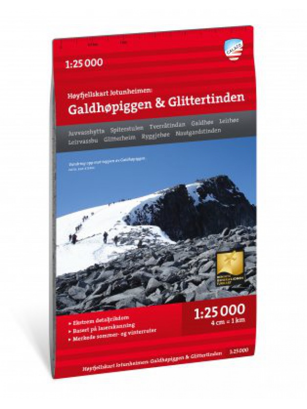
Hoyfjellskart Jotunheimen: Galdhopiggen & Glittertinden -...

The highly detailed hiking map of Scandinavia's highest mountains is unique in that the terrain information on the map is based on laser scanning from an aircraft. Mountain slopes, waterways, glaciers and other natural elements are shown in much more detail with this technology. The map also contains more trails than any previous map of the same area. The...
Kč 549
In Stock
View Detail

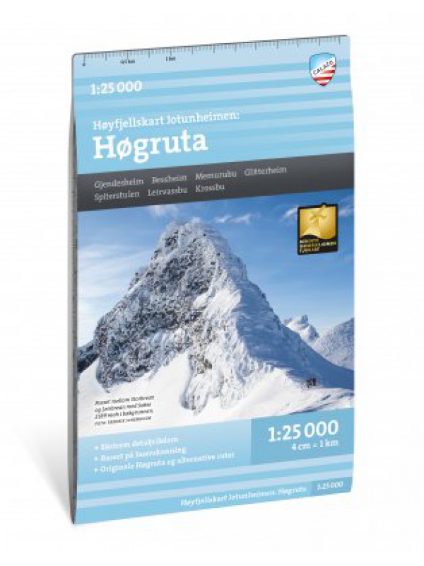
Hoyfjellskart Hogruta - tourist map 1:25.000

Hogruta Jotunheimen leads through the most beautiful mountain passes and the highest peaks of Scandinavia. This 1:25,000 scale alpine map contains terrain information based on laser scanning from an aircraft. The map shows the "original" Hogwarts from 2014, as well as various frequently used alternatives. Thanks to the Tyvek® material, it is completely...
Kč 549
In Stock
View Detail

Nordkinnhalvoya - tourist map 1:60,000

Tourist map of the northernmost peninsula of mainland Europe, Nordkinnhalvoya, and the Finnmark region. A good hiking map is a great helper when planning nice hikes in the Finnmark region. Texts only in Norwegian, clear information and legend also in English. Thanks to the Tyvek® material, it is completely waterproof and highly tear-resistant.
Kč 549
In Stock
View Detail

Norra Gotland + Faro 1:60,000 - tourist map of the island

The 1:60,000 waterproof terrain map of Norra Gotland and Faro is perfect for those of you who are hiking or cycling on the island, or if you just want to find your way down by car to one of the semi-secret beaches. The southern part of the island of Gotland can be found under the name Sodra Gotland.
Kč 494
In Stock
View Detail

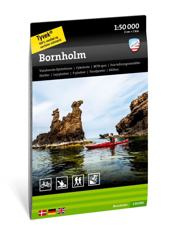
Bornholm 1: 50.000 - Tourist map of the island

Detailed tourist map of the Swedish national park Sarek. Suitable for tourist guides, travelers and adventurers. Roads for snowmobiles are also marked. The map is printed on weather-resistant paper. Texts only in Swedish, clear information and legend also in English and German.
Kč 494
In Stock
View Detail

Vasaloppet Arena 1:50 000 - mapa závodu

Mapa legendárního běžkařského závodu Vasaloppet ze Salenu do Mory. Mapa obsahuje i turistickou trasu (Vasaloppsleden) a cyklistickou trasu (CykelVasaleden). Trasa měří cca 90 km a vede přes známá místa jako Mangsbodarna, Evertsberg, Hogberg do městečka Mora, kde se můžete proběhnout po cílové rovince. Vydáno ve Švédsku. Texty ve švédštině, popisky i v...
Kč 549
In Stock
View Detail

Nationalpark Thy - turistická mapa 1:25.000

Calazo Friluftskort je nová série outdoorových map zaměřená na pěší turistiku, kajaky nebo kánoe, cyklistiku a horské kolo. Tato mapa je vyvinuta s důrazem na outdoorový život v Národním parku Thy, kde jsou pečlivě popsány místní turistické stezky, ´Vestkystruten´ - Dánská národní cyklotrasa č. 1, a cyklotrasy pro horská kola. Kromě toho najdete podrobné...
Kč 494
In Stock
View Detail

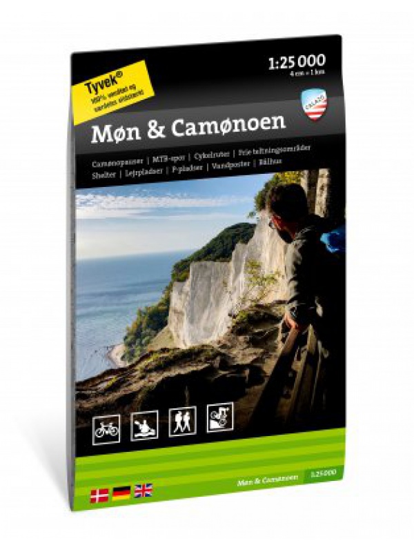
Mon & Camonoen - tourist map 1:25,000

Tourist map focused on the Danish island of Mon, including local hiking trails and mountain bike routes in Mons Klint. You will also find a detailed description of the 'Camonoen' tourist route and all its stages with camo breaks, distances and tips on accommodation and overnight stays. Ideal for a cycling holiday on Mon. Thanks to the Tyvek® material, it...
Kč 494
In Stock
View Detail

Turkart Finse, Hallingskarvet & Aurlandsdalen -...

S mapovými zobrazeními na obou stranách pokrývá tato mapa celou oblast mezi Hallingskarvet na jihu a Aurlandsdalen na severu, s klasickými turistickými cíli jako Finse, Hardangerjokulen a Flamsdalen. Mapa také zahrnuje cyklistickou trasu Rallarvegen z Haugastol do Flamu o délce 82 km. Tato mapa je součástí moderní kartografické série od Calazo s...
Kč 549
Out-of-Stock

Turkart Sulitjelma & Rago Nasjonalpark - turistická mapa...

S mapovými zobrazeními na obou stranách pokrývá tato mapa celou oblast kolem Sulitjelmy a Národního parku Rago. Mapa je součástí moderní kartografické série od Calazo, která nabízí jedinečné terénní informace založené na laserovém skenování z letadla a lepší přesnost detailů. Použili jsme mimo jiné detailní letecké snímky k opravě všech stezek v...
Kč 549
Out-of-Stock

Turkart Hardangervidda vest, Trolltunga & Folgefonna -...

S mapovými zobrazeními na obou stranách pokrývá tato mapa západní části Hardangerviddy, Sorfjorden a národní park Folgefonna s oblíbenými turistickými cíli, jako jsou Trolltunga, Sotefossen a Harteigen (1690 m n. m.). Tato mapa je součástí moderní kartografické série od Calazo, která nabízí jedinečnou úroveň detailů, založenou na nových datech...
Kč 549
Out-of-Stock

Turkart Dovrefjell - turistická mapa 1:50.000

S mapovými zobrazeními na obou stranách pokrývá tato mapa celé divoké vysokohorské oblasti Dovrefjell a klasické turistické cíle jako Vangshaugen, Snoheim a nejvyšší horu Norska mimo Jotunheimen, Snohetta (2286 m n. m.). Tato mapa je součástí moderní kartografické série od Calazo, která nabízí jedinečnou úroveň detailů, protože je založena na nových...
Kč 549
Out-of-Stock

Hoyfjellskart Senja: Keipen, Tredjefjellet & Kvanan -...

Tourist map showing the northwestern part of Senja Island at a scale of 1:25,000. Useful especially if you are planning a trip to the top of Keipen (938 m), Breitinden (1001 m) or Kvanan (963 m) or you want to leave the marked paths and go into the mountains on your own fist. Thanks to the Tyvek® material, it is completely waterproof and highly...
Kč 549
Out-of-Stock

Turkart Senja - tourist map 1:50,000

This double-sided tourist map covers the entire island of Senja with its high, steep mountains and typical alpine feel. It is part of Calazo's modern map series with unique terrain information based on laser scanning from aircraft. Thanks to the Tyvek® material, it is completely waterproof and highly tear-resistant.
Kč 549
Out-of-Stock

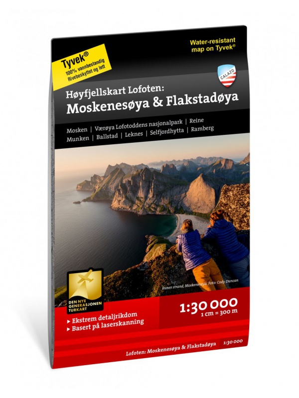
Hoyfjellskart Lofoten: Moskenes - tourist map Lofoten...

One of three unique maps with lots of details that have never been shown on a Lofoten map. The terrain information on the map is based on a laser scan from an airplane. For the first time, mountain slopes, larger rocks, streams and glaciers appear with an accuracy that corresponds to reality. The 1:30,000 scale map provides good support for those who go...
Kč 549
Out-of-Stock