List of products by brand Norstedts

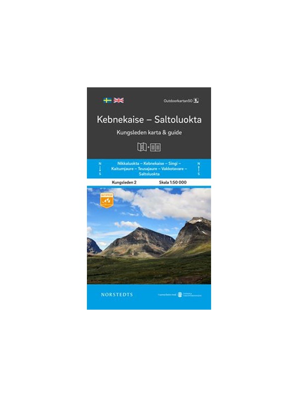
Map KUNGSLEDEN Kebnekaise - Saltoluokta 1:50 000

One-sided tourist map with hiking and biking trails, camping sites, camps, churches, tourist information centers, NP borders, cultural and historical monuments. The most interesting sites are marked with a number and separately described on the reverse side in a text section (Swedish, English).
Kč 659
In Stock
View Detail

Map KUNGSLEDEN Abisko - Kebnekaise 1:50 000

One-sided tourist map with hiking and biking trails, camping sites, camps, churches, tourist information centers, NP borders, cultural and historical monuments. The most interesting sites are marked with a number and separately described on the reverse side in a text section (Swedish, English).
Kč 659
In Stock
View Detail

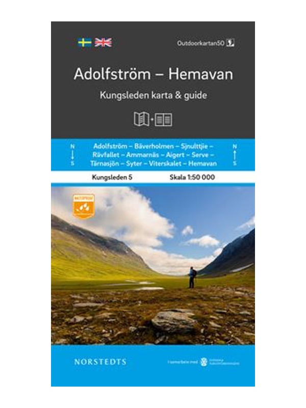
Map KUNGSLEDEN Adolfstrom - Hemavan 1:50 000

One-sided tourist map with hiking and biking trails, camping sites, camps, churches, tourist information centers, NP borders, cultural and historical monuments. The most interesting sites are marked with a number and separately described on the reverse side in a text section (Swedish, English).
Kč 659
In Stock
View Detail

Map KUNGSLEDEN Kvikkjokk - Adolfstrom 1:50 000

One-sided tourist map with hiking and biking trails, camping sites, camps, churches, tourist information centers, NP borders, cultural and historical monuments. The most interesting sites are marked with a number and separately described on the reverse side in a text section (Swedish, English).
Kč 659
In Stock
View Detail

Mapa celého Norska 1:800 000 - Norge Easy Map

Jednostranná turistická mapa obsahující turistické a cykloturistické značení, dále zaznačeny tábořiště, kempy, kostely, turistická informační centra, hranice NP, kulturní a historické památky. Nejzajímavější lokality jsou označeny číslem a samostatně popsány na rubové straně v textové části (švédsky, anglicky, německy). měřítko 1:800 000
Kč 351
In Stock
View Detail

Map KUNGSLEDEN Saltoluokta - Kvikkjokk 1:50 000

One-sided tourist map with hiking and biking trails, camping sites, camps, churches, tourist information centers, NP borders, cultural and historical monuments. The most interesting sites are marked with a number and separately described on the reverse side in a text section (Swedish, English).
Kč 659
In Stock
View Detail

Map Sweden 3 - Östra Svealand - 1: 250,000

Part 3 of the detailed map of Sweden, scale 1: 250,000, includes the southeast of Sweden - Östra Svealand, includes the capital Stockholm, then Uppsala - Norrköping - Linköping and the Falun mountain resort. Folded autoturistic map. Released in Sweden.
Kč 351
In Stock
View Detail

Comprehensive map of Sweden - Sverige med rasteplasser...

A simplified map of Sweden with roads, distances and landscape boundaries at a scale of 1:1.2 mil. Developed together with M-Sverige with the Tafikverket agency's database of Swedish rest areas. A total of 313 rest areas are marked on the map and named in the register. Traffic maps of Stockholm, Gothenburg and Malmö. Published in Sweden, information in...
Kč 197
In Stock
View Detail

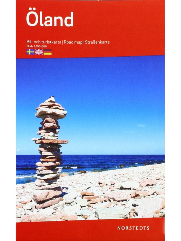
Map of Öland 1: 100 000

One-sided tourist map with hiking and biking trails, camping sites, camps, churches, tourist information centers, NP borders, cultural and historical monuments. The most interesting sites are marked with a number and separately described on the reverse side of the text (Swedish, English, German).
Kč 351
In Stock
View Detail