Turkart Sulitjelma & Rago Nasjonalpark - turistická mapa...

S mapovými zobrazeními na obou stranách pokrývá tato mapa celou oblast kolem Sulitjelmy a Národního parku Rago. Mapa je součástí moderní kartografické série od Calazo, která nabízí jedinečné terénní informace založené na laserovém skenování z letadla a lepší přesnost detailů. Použili jsme mimo jiné detailní letecké snímky k opravě všech stezek v...
Kč 549
Out-of-Stock

Turkart Hardangervidda vest, Trolltunga & Folgefonna -...

S mapovými zobrazeními na obou stranách pokrývá tato mapa západní části Hardangerviddy, Sorfjorden a národní park Folgefonna s oblíbenými turistickými cíli, jako jsou Trolltunga, Sotefossen a Harteigen (1690 m n. m.). Tato mapa je součástí moderní kartografické série od Calazo, která nabízí jedinečnou úroveň detailů, založenou na nových datech...
Kč 549
Out-of-Stock

Turkart Dovrefjell - turistická mapa 1:50.000

S mapovými zobrazeními na obou stranách pokrývá tato mapa celé divoké vysokohorské oblasti Dovrefjell a klasické turistické cíle jako Vangshaugen, Snoheim a nejvyšší horu Norska mimo Jotunheimen, Snohetta (2286 m n. m.). Tato mapa je součástí moderní kartografické série od Calazo, která nabízí jedinečnou úroveň detailů, protože je založena na nových...
Kč 549
Out-of-Stock

Hoyfjellskart Senja: Keipen, Tredjefjellet & Kvanan -...

Tourist map showing the northwestern part of Senja Island at a scale of 1:25,000. Useful especially if you are planning a trip to the top of Keipen (938 m), Breitinden (1001 m) or Kvanan (963 m) or you want to leave the marked paths and go into the mountains on your own fist. Thanks to the Tyvek® material, it is completely waterproof and highly...
Kč 549
Out-of-Stock

Turkart Senja - tourist map 1:50,000

This double-sided tourist map covers the entire island of Senja with its high, steep mountains and typical alpine feel. It is part of Calazo's modern map series with unique terrain information based on laser scanning from aircraft. Thanks to the Tyvek® material, it is completely waterproof and highly tear-resistant.
Kč 549
Out-of-Stock

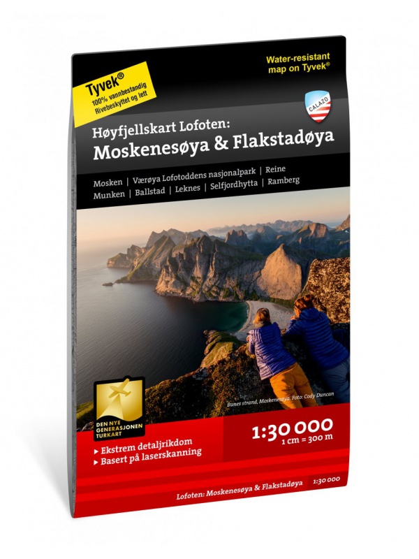
Hoyfjellskart Lofoten: Moskenes - tourist map Lofoten...

One of three unique maps with lots of details that have never been shown on a Lofoten map. The terrain information on the map is based on a laser scan from an airplane. For the first time, mountain slopes, larger rocks, streams and glaciers appear with an accuracy that corresponds to reality. The 1:30,000 scale map provides good support for those who go...
Kč 549
Out-of-Stock

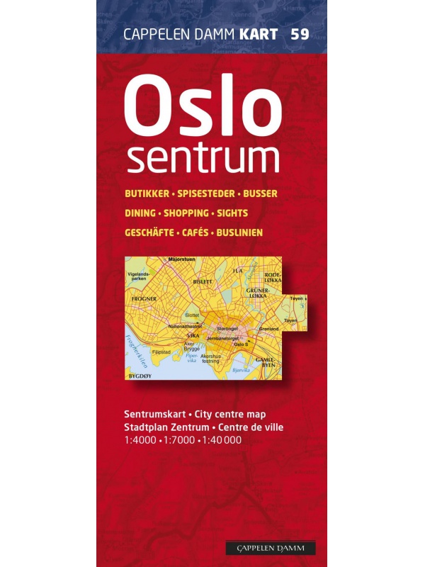
OSLO city center map - OSLO sentrum CK59, 1: 4000, 1: 7000

A detailed map of Oslo city center suitable for hikers. It contains all public transport stations, important shops, monuments and important places. Scale 1: 7,000, Aker Brygge area and center 1: 400. On the back is also well-arranged map of public transport in scale 1: 40.000 and list of restaurants. There is a street index. Published in Norway.
Kč 439
Out-of-Stock

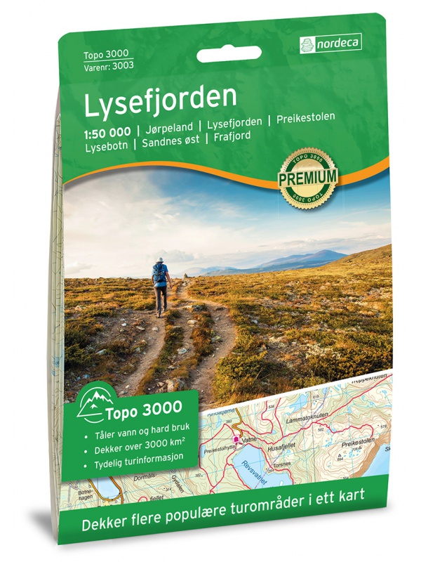
Lysefjorden 1:50 000 TOPO 3000

Detailed map of Lysefjorden and places of interest, including Preikestolen - Lysebotn - Sandnes ost - Frafjord, Kjerag and more. Made of weather-resistant paper. Double-sided, scale 1:50 000. Includes over 3000 km2. Released in Norway.
Kč 769
Out-of-Stock

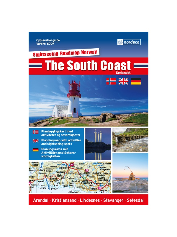
Experience Guide South Norway 1: 250,000, Opplevelsesguide

Map with tips for the southernmost part of Norway from the E39 and E18 along the coast from Tonsberg to Kristiansadn to Stavanger. It ends under the Hardangervidda National Park. One in a scale of 1: 250,000. The stacked map contains tips on places of interest with information and contacts. Labels in English, Norwegian and German.
Kč 659
Out-of-Stock

Folgefonna 1:50 000 TOPO 3000

Detailed tourist map of the Folgefonna glacier and the surrounding area, including places like Tyssedal, Trolltunga and others. Made of weather-resistant paper. Double-sided, scale 1:50 000. Includes over 3000 km2. Released in Norway.
Kč 769
Out-of-Stock

CK52 Lofoten 1:220.000 - road map

A detailed car map of Lofoten archipelago and the western part of the Vesterala archipelago. Detailed maps of cities and places of interest in a scale of 1: 15,000. Map at 1: 220,000 scale. Suitable for navigation on and off marked roads. Released in Norway. Explanations in Norwegian, English and German.
Kč 659
Out-of-Stock