Special maps

Speciální mapy Švédsko

Seženeme vám mapy těch nejzapadlejších koutů Norska. Pokud je nemáme v nabídce, napište nám a dovezeme vám ji.

Speciální mapy Švédsko

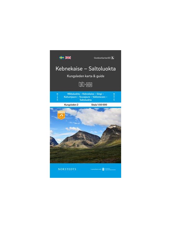
Map KUNGSLEDEN Kebnekaise - Saltoluokta 1:50 000

One-sided tourist map with hiking and biking trails, camping sites, camps, churches, tourist information centers, NP borders, cultural and historical monuments. The most interesting sites are marked with a number and separately described on the reverse side in a text section (Swedish, English).
Kč 659
In Stock
View Detail

Map KUNGSLEDEN Abisko - Kebnekaise 1:50 000

One-sided tourist map with hiking and biking trails, camping sites, camps, churches, tourist information centers, NP borders, cultural and historical monuments. The most interesting sites are marked with a number and separately described on the reverse side in a text section (Swedish, English).
Kč 659
In Stock
View Detail

Mapa Skandinávie 1:2 mil.

Nejpřehlednější mapa severní Evropy na jednom listu! Rozkládací mapa celé Skandinávie je měřítku 1:2.000.000. Obsahuje rejstřík míst a průjezdní plánek hlavních měst. Kromě Norska, Švédska, Finska a Dánska pokrývá i Pobaltí, část Německa, Polska a Ruska. Připojen je i Island.
Kč 328
In Stock
View Detail

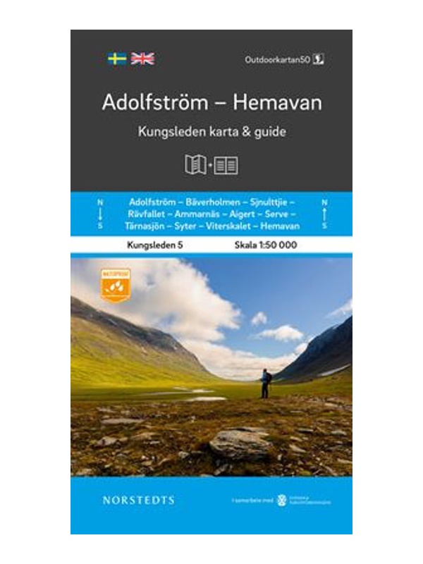
Map KUNGSLEDEN Adolfstrom - Hemavan 1:50 000

One-sided tourist map with hiking and biking trails, camping sites, camps, churches, tourist information centers, NP borders, cultural and historical monuments. The most interesting sites are marked with a number and separately described on the reverse side in a text section (Swedish, English).
Kč 659
In Stock
View Detail

Map KUNGSLEDEN Kvikkjokk - Adolfstrom 1:50 000

One-sided tourist map with hiking and biking trails, camping sites, camps, churches, tourist information centers, NP borders, cultural and historical monuments. The most interesting sites are marked with a number and separately described on the reverse side in a text section (Swedish, English).
Kč 659
In Stock
View Detail

Map KUNGSLEDEN Saltoluokta - Kvikkjokk 1:50 000

One-sided tourist map with hiking and biking trails, camping sites, camps, churches, tourist information centers, NP borders, cultural and historical monuments. The most interesting sites are marked with a number and separately described on the reverse side in a text section (Swedish, English).
Kč 659
In Stock
View Detail

Vasaloppet Arena 1:50 000 - mapa závodu

Mapa legendárního běžkařského závodu Vasaloppet ze Salenu do Mory. Mapa obsahuje i turistickou trasu (Vasaloppsleden) a cyklistickou trasu (CykelVasaleden). Trasa měří cca 90 km a vede přes známá místa jako Mangsbodarna, Evertsberg, Hogberg do městečka Mora, kde se můžete proběhnout po cílové rovince. Vydáno ve Švédsku. Texty ve švédštině, popisky i v...
Kč 549
In Stock
View Detail