BD8 Kebnekaise - Saltoluokta - Tourist Map 1: 100,000

Detailed tourist map Kebnekaise - Saltoloukta. Suitable for tourist guides, travelers and adventurers. Roads for snowmobiles are also marked. The map is printed on paper that resists weather. Texts only in Swedish, well-arranged information and legend in English and German.
Kč 494
In Stock
View Detail

Map KUNGSLEDEN Saltoluokta - Kvikkjokk 1:50 000

One-sided tourist map with hiking and biking trails, camping sites, camps, churches, tourist information centers, NP borders, cultural and historical monuments. The most interesting sites are marked with a number and separately described on the reverse side in a text section (Swedish, English).
Kč 659
In Stock
View Detail

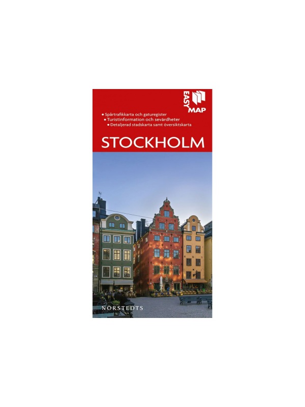
Turistická mapa Stockholm 1:13 000

Velmi podrobná mapa hlavního města Švédska obsahující zaznačené sportovní centra/hřiště, kostely, turistická informační centra, vyhlídková místa, kulturní a historické památky. Měřítko 1:13 000, Vydáno ve Švédsku v roce 2022.
Kč 351
In Stock
View Detail

Halti Kilpisjärvi Pältsa - turistická mapa 1:50.000

Turistická mapa trojmezí tří království Skandinávie zachycující ndhernou přírodu nacházející se v oblasti Přírodní rezervace Käsivarsi. Cesta Kalotti vede na západ z Kilpisjärvi do Pältsa a Parase a na severovýchod do Halti, kam se lze dostat kratší cestou ze severu. Texty pouze v dánštině, přehledné informace a legenda i v...
Kč 549
In Stock
View Detail

Grövelsjön & Rogen - turistická mapa 1:50.000

Toto je přeshraniční mapa celé oblasti mezi Grövelsjön na jihu a Tänndalen na severu. Mapa pokrývá oblíbenou horskou oblast kolem Rogen a dvou národních parků - Femundsmarka v Norsku a Töfsingdalen ve Švédsku. Texty pouze ve švédštině, přehledné informace a legenda i v angličtině. Díky materiálu Tyvek® je zcela odolná vodě a vysoce odolná...
Kč 549
In Stock
View Detail

Mapa celého Švédska 1:800 000 - Sverige Easy Map

Jednostranná turistická mapa obsahující turistické a cykloturistické značení, dále zaznačeny tábořiště, kempy, kostely, turistická informační centra, hranice NP, kulturní a historické památky. Nejzajímavější lokality jsou označeny číslem a samostatně popsány na rubové straně v textové části (švédsky, anglicky, německy). měřítko 1:800 000
Kč 351
In Stock
View Detail

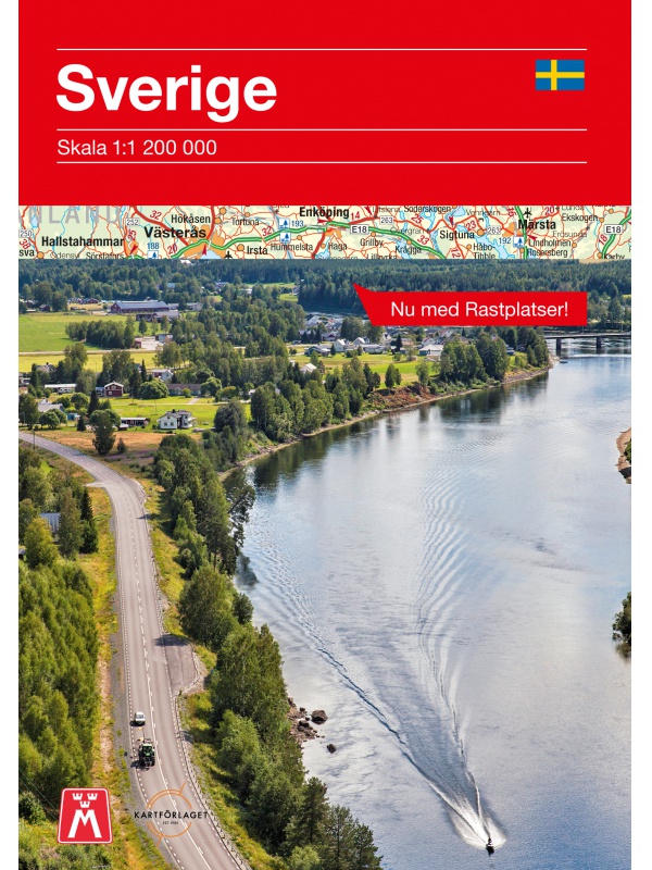
Comprehensive map of Sweden - Sverige med rasteplasser...

A simplified map of Sweden with roads, distances and landscape boundaries at a scale of 1:1.2 mil. Developed together with M-Sverige with the Tafikverket agency's database of Swedish rest areas. A total of 313 rest areas are marked on the map and named in the register. Traffic maps of Stockholm, Gothenburg and Malmö. Published in Sweden, information in...
Kč 197
In Stock
View Detail

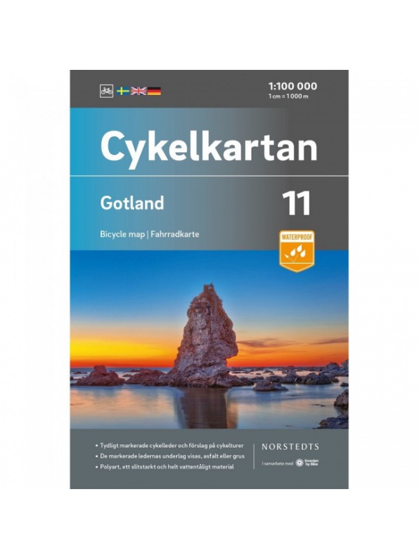
Norra Gotland + Faro 1:60,000 - tourist map of the island

The 1:60,000 waterproof terrain map of Norra Gotland and Faro is perfect for those of you who are hiking or cycling on the island, or if you just want to find your way down by car to one of the semi-secret beaches. The southern part of the island of Gotland can be found under the name Sodra Gotland.
Kč 494
In Stock
View Detail

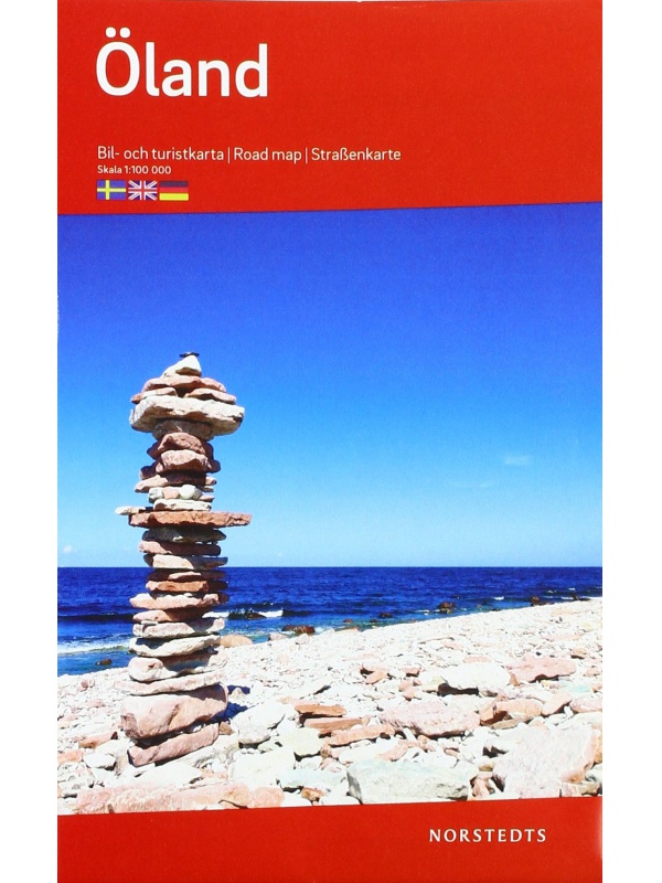
Map of Öland 1: 100 000

One-sided tourist map with hiking and biking trails, camping sites, camps, churches, tourist information centers, NP borders, cultural and historical monuments. The most interesting sites are marked with a number and separately described on the reverse side of the text (Swedish, English, German).
Kč 351
In Stock
View Detail

Z51 Are - tourist map 1:50 000

Detailed tourist map Are. Suitable for tourist guides, travelers and adventurers. Roads for snowmobiles are also marked. The map is printed on paper that resists weather. Texts only in Swedish, well-arranged information and legend in English and German.
Kč 659
In Stock
View Detail

Vasaloppet Arena 1:50 000 - mapa závodu

Mapa legendárního běžkařského závodu Vasaloppet ze Salenu do Mory. Mapa obsahuje i turistickou trasu (Vasaloppsleden) a cyklistickou trasu (CykelVasaleden). Trasa měří cca 90 km a vede přes známá místa jako Mangsbodarna, Evertsberg, Hogberg do městečka Mora, kde se můžete proběhnout po cílové rovince. Vydáno ve Švédsku. Texty ve švédštině, popisky i v...
Kč 549
In Stock
View Detail

BD6 Abisko-Kebnekaise-Narvik 1:100.000

A detailed tourist map of the Swedish National Park Abosko. Suitable for tourist guides, travelers and adventurers. Trails for snowmobiles are also marked. The map is printed on paper that resists weather. Texts only in Swedish, clear information and legends in English and German.
Kč 494
zašleme do 24 hodin
View Detail

Nordkinnhalvoya - tourist map 1:60,000

Tourist map of the northernmost peninsula of mainland Europe, Nordkinnhalvoya, and the Finnmark region. A good hiking map is a great helper when planning nice hikes in the Finnmark region. Texts only in Norwegian, clear information and legend also in English. Thanks to the Tyvek® material, it is completely waterproof and highly tear-resistant.
Kč 549
In Stock
View Detail